Victoria Police works to keep you and your community safe, 24 hours a day, seven days a week.
Report a crime or incident

In an emergency
Call Triple Zero (000) for police, fire brigade, ambulance.

Non-urgent reports
Report a non-urgent crime online or call 131 444, 24/7.

Anonymous reports
Make an anonymous crime report to Crime Stoppers.

Find a police station
Get contact details for any Victorian police station.
More about different crimes and how to report them.
Explore our website
Have your say
Complete the Community Sentiment Survey
Help us focus our efforts on the issues that directly impact your community by sharing what safety concerns matter most to you.
Community updates
World Elder Abuse Awareness
This June, identify the signs of elder abuse to ensure older Victorians in your community are treated with dignity and respect.
Winter and snow safety
As winter begins, find tips for staying safe in colder, wetter conditions - whether you are driving to the snow, staying home, or travelling to find the sun.
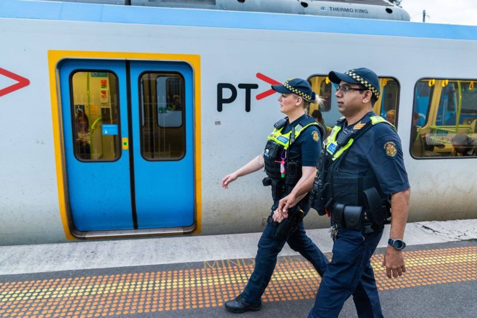
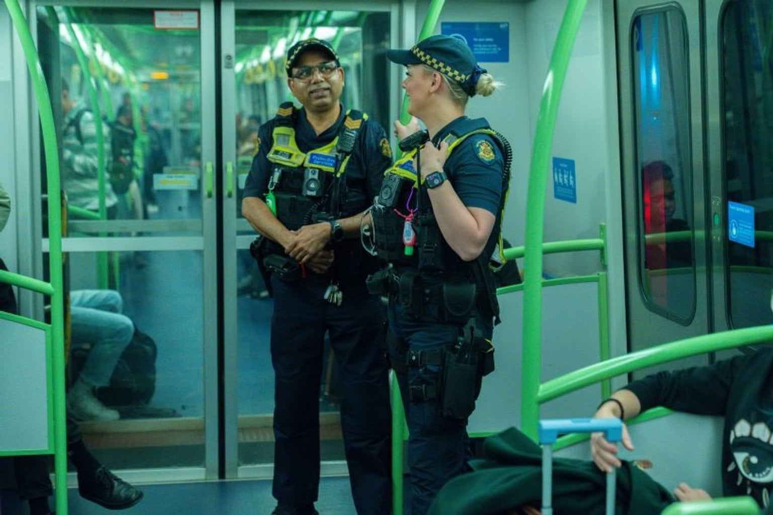
Increased PSO support on public transport
Our protective services officers patrol train stations, trains, trams and major bus interchanges across Victoria, working to keep you safe.
Popular topics
Creating safer communities
Text STOPIT to report bad behaviour on PT
Report non-urgent unwanted sexual and anti-social behaviour on public transport, and help us prevent, investigate, and catch offenders.
Start your policing career
Check what it takes to be a Victoria Police officer and how to apply and explore a career with purpose and benefits that will make a real difference in the community.
Report a non-urgent crime
Report non-urgent crimes or events anytime with our 24/7 Online Reporting service or by calling our Police Assistance Line on 131 444.
Crime prevention and safety
Electric bike (e-bike) safety
How to stay safe when riding a legal e-bike on Victorian public roads and footpaths, and how to report dangerous riders.
Online marketplace safe exchange sites
Exchange items from online marketplaces at one of 35 Safer Exchange Sites across Victoria.
Cybercrime, fraud, scams, and online safety
Learn how to prevent and report cybercrime, online abuse, fraud, and in-person scams.
Sexual offences and child abuse
Information about sexual offences and child abuse, including understanding consent, terminology and reporting to Victoria Police.
Motor vehicle theft
Crime prevention tips on how to protect your car from theft, and what to do if your car is stolen.
Family violence safety notices and intervention orders
Learn about family violence safety notices and intervention orders, and when they apply.
The latest news from Victoria Police
Breaking news
Discover the latest updates, news, and official media releases direct from Victoria Police.
Current road toll figures
The current road fatality statistics and information about how to stay safe as a driver, passenger, motorcyclist, cyclist or pedestrian.
Public notices
Past and upcoming Victoria Police declarations under the various statutes, and the relevant dates and locations.

Police Life: Our people, our stories
Police Life: Our people, our stories is where you'll find Victoria Police’s podcast and in-depth articles about police, protective services officers and support staff across the state.
Updated